Las Vegas to Denver in 5 days.
In June 2019 I joined my dad for a really short road trip from Las Vegas to Denver. He was on a larger US trip and I was in the middle of my second Master semester. As the exams were still quite far away I decided to join him and spend some family time with him. After a 12 hours trip, first from Dortmund to Frankfurt and then further with United Airlines to Las Vegas via San Fransisco. The first 3 hours of the trip nearly killed the trip before it really started. The train I wanted to take to Frankfurt destroyed part of the electricity cables at the train station, resulting in the closure of the station. It took me 3 hours and 4 alternative trains to reach the airport. As I arrived at the check-in they were already closing it, I was really lucky that they still let me check-in. After that, the flights were uncommonly relaxing and comfortable.
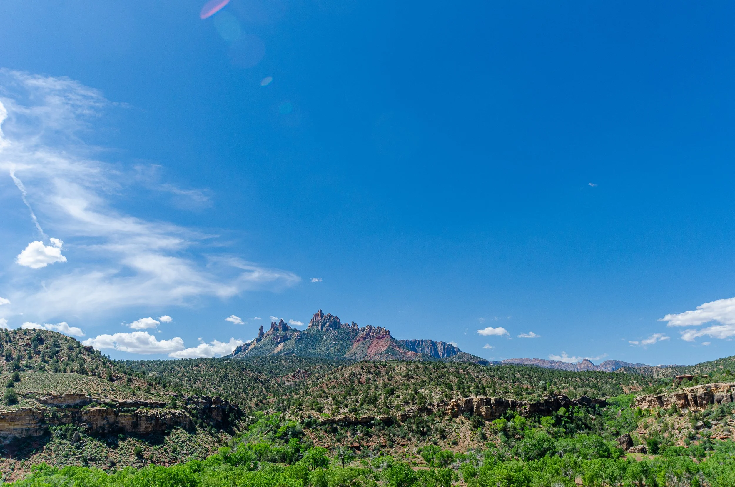
South entrance of the Zion NP area.
I arrived close to midnight and went straight to the Hotel and to bed. The next day we started with a nice 260 km drive towards Zion National Park. It was our second tour along parts of this route in the last 5 years. This time we hiked outside the main popular area of Zion, in front of the park entrance. There are miles of dust walking trails through endless scenery and along beautiful cliffs.
View from the plateau above the south entrance street.
The inner parts of Zion are often closed for personal vehicles and can only be accessed by the shuttle bus starting from the visitor center. The shuttle has multiple stops inside the park borders the most famous spots to exit the shuttle and hike are for sure the start of the Angles Landing hiking trail and the last stop where you can enter The Narrows. Next to these walks are many different and really nice walks. For example along both of the Emerald Pool walks (easy and intermediate) walks are especially good for families.
Start of the Angles Landing trail, you can see the end already as well.
I must admit that the unathletic guy I am, the Angles Landing trail was really hard for me. First, the trail winds up along the side of a cliff before entering a canyon which leads to another steep trail winding up to a plateau. For me, the plateau was the end of the trail, not because I was too exhausted to climb further, but for the reason that the trail becomes very very narrow. On the day we did the hike it was already really crowded up there at around half past 9 (am). Starting from the plateau a metal chain is attached along the track to help prevent someone falling down the at least 200m drop on both sites of the trail. So I didn´t want to risk colliding with someone coming down while I climb up, as well as risking falling down on one side. If you feel like me and don´t want to risk your life on the last 100m I can still really recommend the hike, the views from the plateau are already breathtaking.
We spend some time up there before getting back down and taking the shuttle towards The Narrows. From the shuttle bus stop, you can walk along the riverside walk (3.5 km return, Temple of Sinawava) towards the starting point of The Narrows. The Narrows itself is a 15 km return hike inside the Virgin River. As the hike takes an estimated 8 hours, I never really done the whole thing. Additionally, you walk the most time inside the river, at some points the water is up to 90 cm deep (reaching my hips). At the beginning of June, the water was only a couple of degrees, after like 300m I couldn´t feel my feet anymore and had to turn around like most of the other hikers. I saw pictures, which lets me wish to one day walk the whole 15 km of the hike up to Big Spring. As visible in the slideshow, you should be careful with your belongings in the Narrows, sometimes when you cannot see how deep the water is, it is recommended to use a stick or something similar to try how deep it actually is. I nearly dropped my camera into the river as I was a bit too careless.
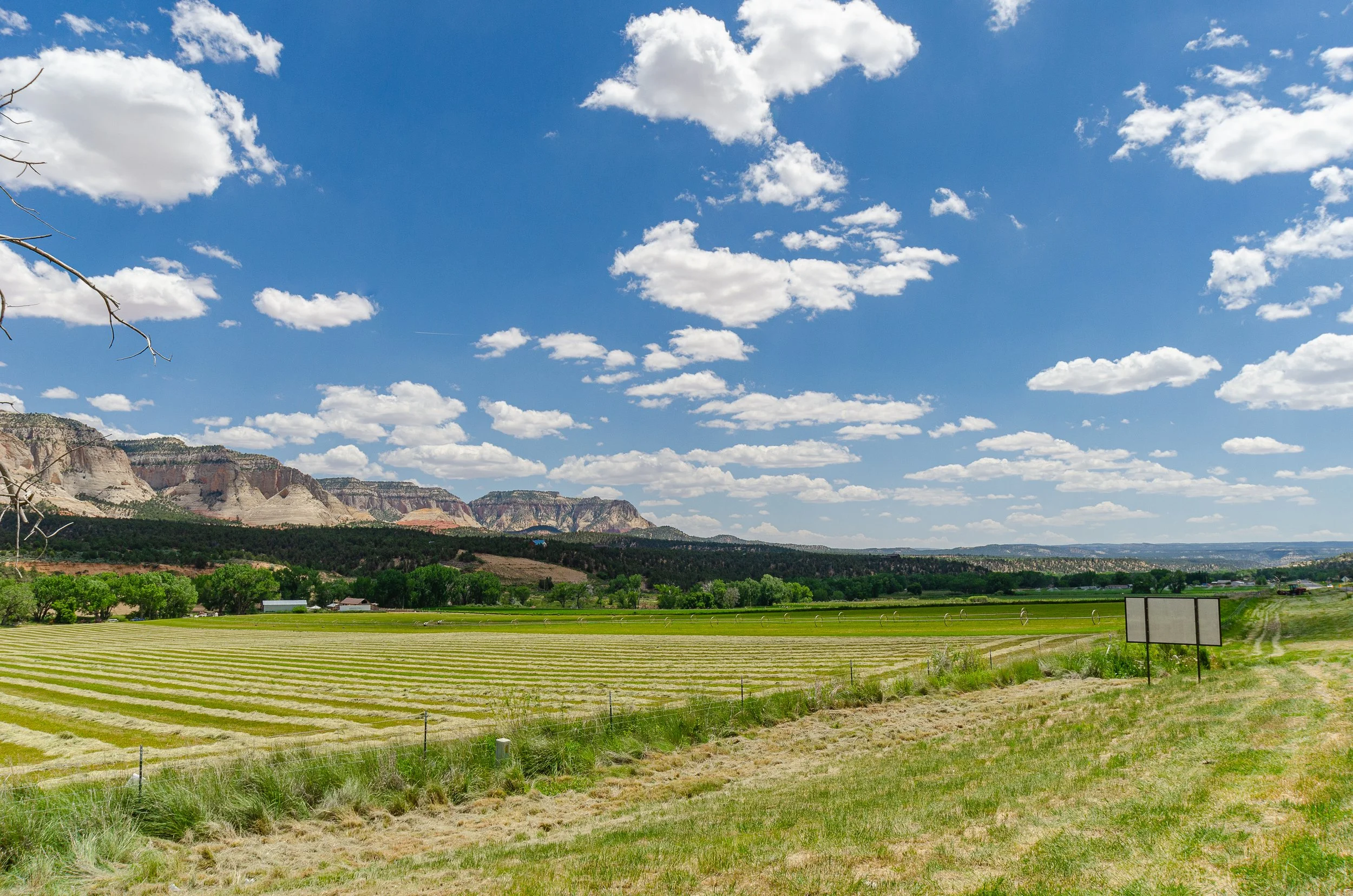
Fields and cliffs all the way to the horizon.
As we left Zion NP for Bryce Canyon NP we drove through some great countryside flanked by the typical gigantic cliffs. I must admit I really like driving in the US as well as in Australia, for the same reason: there are miles of empty road with magnificent scenery along both sites. Driving is really relaxing and really enjoyable in these areas, for me at least. As you come closer to Bryce you will see a small town in front of the park entrance. This town actually started as a small hotel and is nowadays quite popular. Ruby´s as it´s called was purchased a couple of years ago by Best Western, but most of the shops and activities are still called Ruby´s. As I´m not a big fan of mass tourism in the way of tours, I like this town for its flair and the shops, but never took part in any of the offered activities. The park is easily accessed by private car, you can park at the side of the cliff and walk down into the canyon.
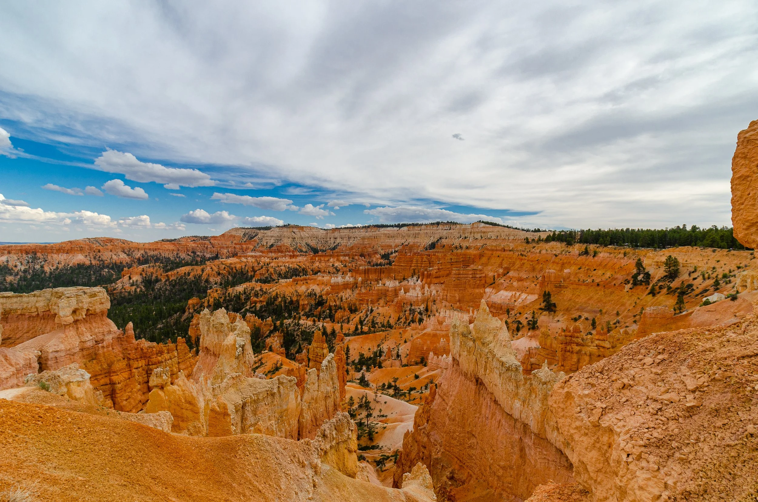
Bryce Canyon from sunrise point.
We parked our car at Sunrise point and started the Queen´s Garden Trail. With this walk, you descend down the cliff, before entering the area between the sandstone pillars in the lower area. The walk itself is just one of many linked trails along the sandstone cliffs. If you don´t feel fit enough to walk down and up the cliffs again, you can walk along the rim with the Rim walk. An available shuttle bus could, for example, bring you to Bryce point where the Rim trail starts (closed in winter) and you can walk along the rim the around 6 km back to the visitor center or the campground. Besides the area directly at the beginning of the park (visible in the above picture) with the Queen´s garden trail, the end of the road in Bryce: Rainbow Point is really popular.
Vibrant yellow and orange colors, always breathtaking.
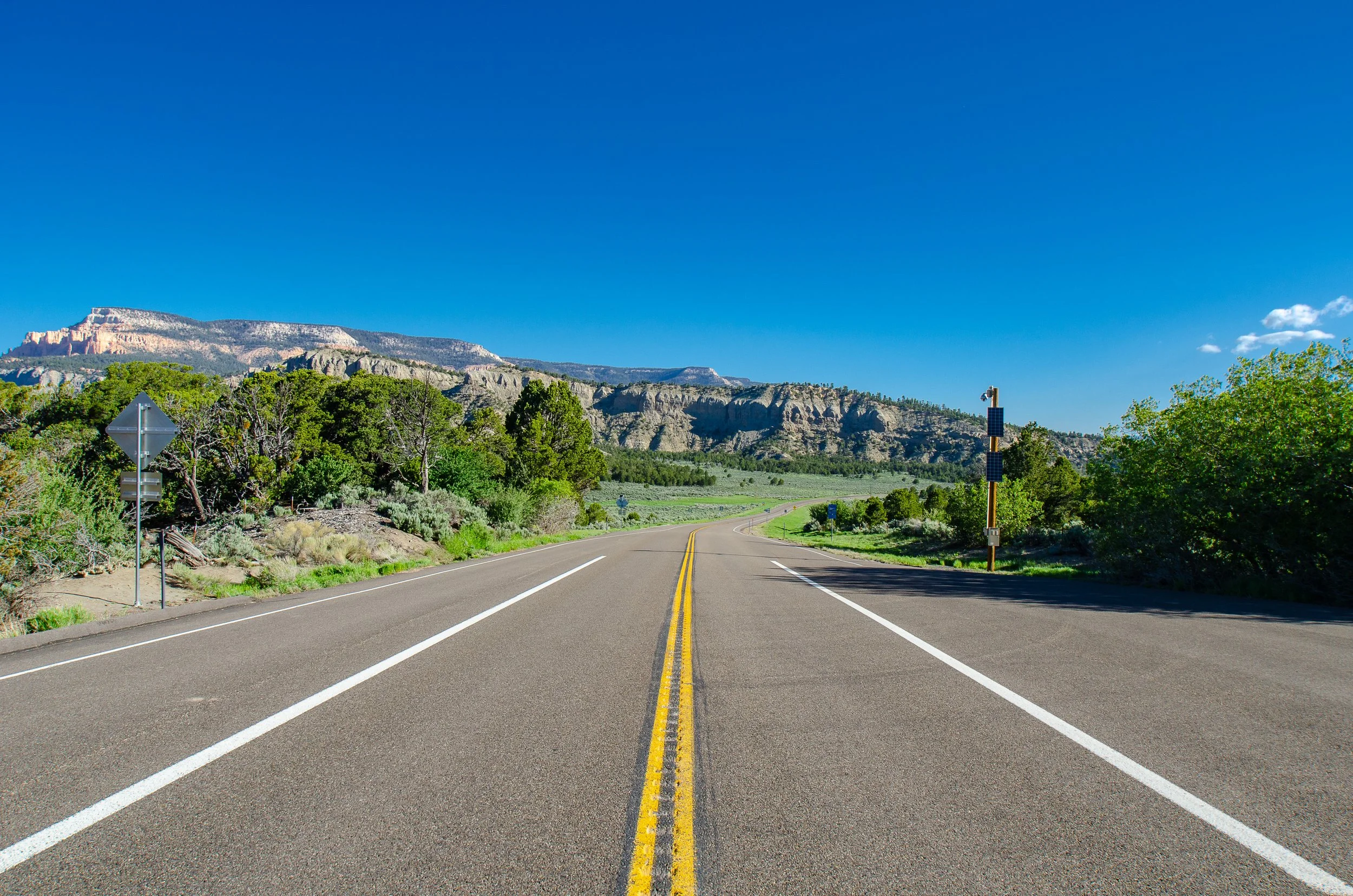
After Bryce Canyon, we had a long drive towards Capitol Reefs, on the way the scenery changes drastically multiple times. From lush green meadows to vast empty sandstone fields.
Empty roads, blue skies, best road trip ingredients!
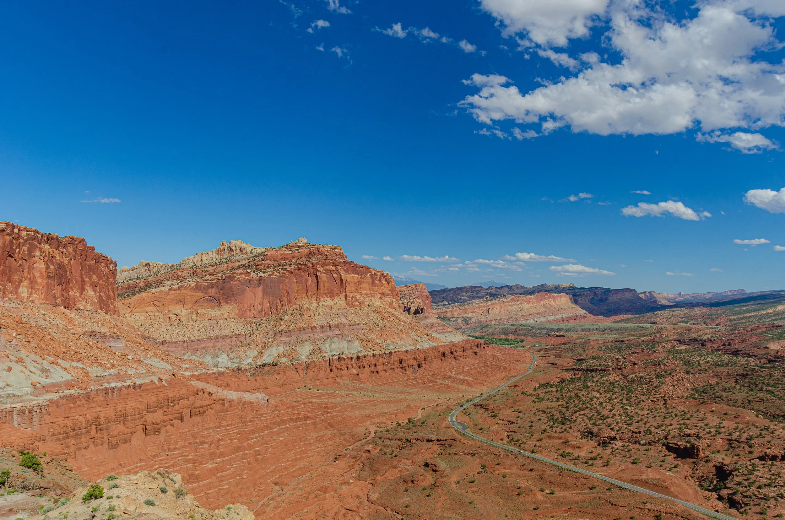
Before you reach Capitol Reef, you have to descend another sandstone cliff, which from above looks surreal. As soon as you spot a car on the tiny road below, you realize how vast this area is and how far away the horizon is.
Next stop: the horizon.
At the horizon, you can already see Capitol Reef (I think so at least, could be totally wrong). We stayed at a quite rustical motel in Torey. I know I sound a bit disappointed, but no, the motel with the rustical interior and outside had a great flair and snug feeling to it. Even when the rooms where, typically for this area in the US, far too big for 2 persons. A small downside was, that in the town only 2 restaurants were open at the time we were there. One at our hotel with waiting times of 1-3 hours and one (which we, in the end, drove to) completely empty. The food nevertheless, was delicious. I must admit from time to time I really like this large unhealthy meals you mostly get on the road in the US.
Driving from Torey to Hanksville, our next stop, you enter and leave Capitol Reef quite quick. The park is quite narrow but stretches a long way along the cliff sides. The most popular stops on the short drive trough are Chimney Rock and Panorama point, actually quite close to each other, as well as the short walk around the visitor center.
Chimney Rock (the left sandstone structure).
The walk up to Chimney Rock and around the plateau is great to soak up the atmosphere of the surrounding, but remember to take enough water. There is no shade and the sun is merciless.
Where the planet cracked.
After we left Capitol Reef, we visited a friend of my dad in Hanksville. The town itself is tiny and is positioned at the intersection of the roads towards Lake Powell and the Interstate towards Denver or Salt Lake City. I still don´t know how people can live there, nothing other than desert around. Some people seem to like living in the middle of nowhere. The town itself has 2 gas stations (one built into a cliffside), a church and an interesting art installation.
A real Hanksville resident.
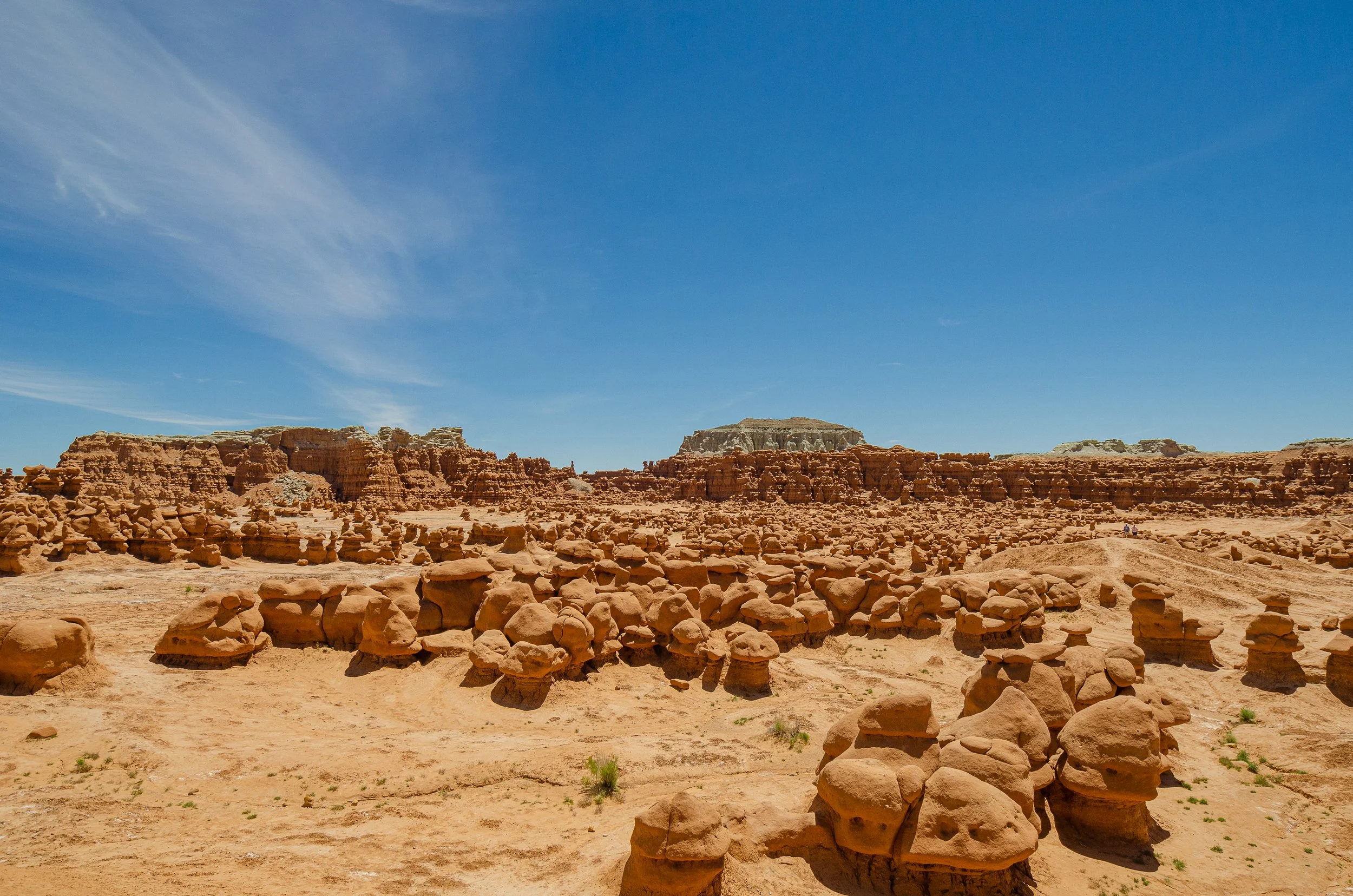
On the last, and larges stretch of the trip from Hanksville to Denver, we made a quick stop at the Goblin State Park. It lays in the middle of nowhere and the attraction is really manageable.
Goblin State Park.
After that, we just made an overnight stop in Grand Junction, nothing much there. The best thing there was the Red Lobster, yes I´m actually a fan of that brand, even it´s really weird to eat seafood in the mountains. After Grand Junction, we drove with one stop in the snow at the pass near Vail towards Denver. For a European, you always have to go shopping in at one of the outlet malls in the US. I don´t know how, but there is always a sale on and the prices are unbelievable.
So the end was real quick now, but in 4 days with 3 national parks and visiting friends, the time was really limited for the last part of the trip. A last note: For all the National Parks you need entry fees, for one vehicle the fee is 35€ for a 7-day entry. As I had business class lounge access through my dad at Denver airport and a nonstop flight to Frankfurt the trip back was really enjoyable.

